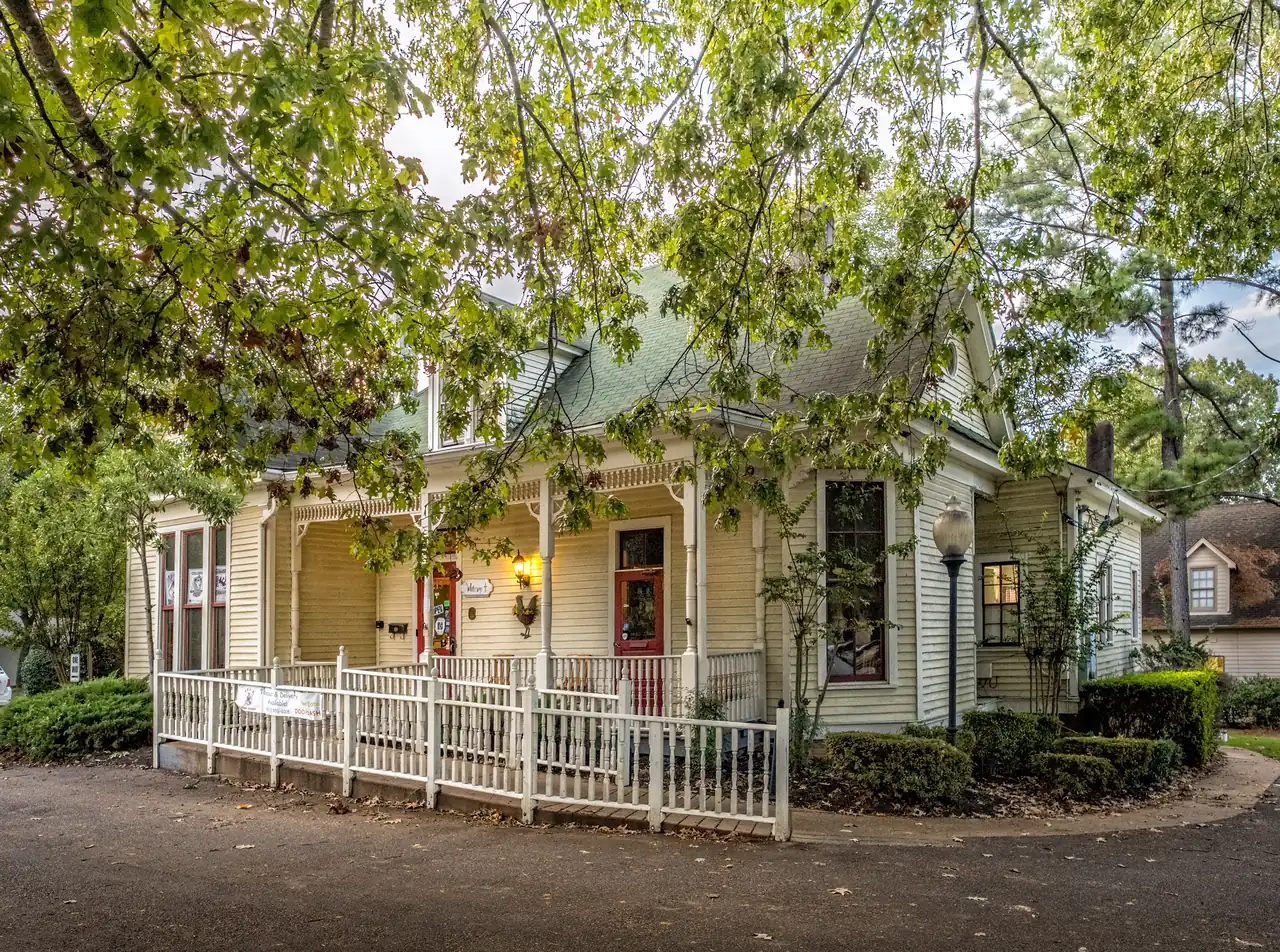
Collierville neighborhoods by ZIP code, school zone and home value: Downtown, Schilling Farms, Bailey Station, Oak Grove, Halle Plantation and more.
Last checked Oct. 17, 2026. Sources: the Town of Collierville’s GIS layers for subdivisions and developments, historic districts and town limits, Collierville Schools’ school zone locator, the Tennessee Department of Education’s 2024-25 letter grades, the Zillow Home Value Index, the Census Bureau and OpenStreetMap.
Collierville covers about 36.9 square miles on the town’s 2019 boundary layer. The historic Town Square sits near the middle, on Poplar Avenue (State Route 57), which runs east to west through town with U.S. 72. State Route 385 (Bill Morris Parkway) crosses the south side, with interchanges at Forest Hill-Irene Road, Houston Levee Road, Byhalia Road and U.S. 72, and meets I-269 on the east side. The town’s map gallery has no neighborhood map; what it does publish is a map of 360 named subdivisions and developments, and this guide uses those names.
Three things decide what living somewhere costs and where children go to school:
- ZIP code. Almost all of the town is in 38017. The northwest edge reaches 38139, which Zillow files under Germantown, and part of the southwest corner is in 38125, which it files under Memphis.
- Town limits. Inside them you pay the town’s property tax as well as Shelby County’s and get town services, including weekly trash pickup by town crews. See property taxes and trash and recycling.
- School zone. Collierville Schools has one high school, so every area in this guide is zoned for Collierville High; the elementary and middle schools change by street. Zones and town limits are not the same thing: check every address in the district’s zone locator. Our schools guide explains the district.
The town had 51,515 people, a median household income of $138,598 and a median home value of $485,900 (as estimated by owners) in the Census Bureau’s 2020-2024 American Community Survey five-year estimates (QuickFacts).
The areas at a glance
| Area | ZIP code | Zoned high school | Typical home value in its ZIP (Sept. 2026) | Guide |
|---|---|---|---|---|
| Downtown and the historic district | 38017 | Collierville High | $504,970 | Downtown |
| Schilling Farms | 38017 | Collierville High | $504,970 | Schilling Farms |
| Bailey Station | 38017 | Collierville High | $504,970 | Bailey Station |
| Oak Grove | 38017 | Collierville High | $504,970 | Oak Grove |
| Estanaula Trails | 38017 | Collierville High | $504,970 | Estanaula Trails |
| Forest Hill | 38017 and 38125 | Collierville High | $504,970 (38017); $275,797 (38125) | Forest Hill |
| Halle Plantation | 38017 | Collierville High | $504,970 | Halle Plantation |
| Almadale Farms | 38017 (edge in 38139) | Collierville High | $504,970 | Almadale Farms |
| Wolf River Ranch and Wellington Farms | 38017 | Collierville High | $504,970 | Wolf River Ranch |
Home values are the Zillow Home Value Index (Zillow Research) for the whole ZIP code in September 2026: a modeled typical value for the middle third of homes, not a sale price. Because one ZIP code covers nearly the whole town, the figure cannot tell areas apart. The town’s figure was $502,630, down 1.4% on the year. More in home prices.
Downtown and the historic district
The streets around the Town Square, inside a local historic district of about 274 acres on the town’s map, with the National Register’s Collierville Historic District at its core. Zoned mostly for Collierville Elementary; exterior changes need the Historic District Commission’s approval. Downtown guide.
Schilling Farms
A 456-acre mixed-use planned development on the west side between Poplar Avenue and East Winchester Boulevard, with apartments, offices and homes and the Nonconnah Creek Trail. Zoned for Schilling Farms Elementary. Schilling Farms guide.
Bailey Station
A 248-acre mixed-use development along Bailey Station Road near Houston Levee Road, about 0.8 miles from State Route 385. Split between the Schilling Farms and Bailey Station elementary zones. Bailey Station guide.
Oak Grove
A 379-acre residential planned development on East Shelby Drive, about half a mile from the Byhalia Road interchange, with new streets still being built. Zoned for Sycamore Elementary. Oak Grove guide.
Estanaula Trails
A 289-acre subdivision around Sycamore Elementary, between Sycamore and Byhalia roads, next to Estanaula Park and near Collierville High. Estanaula Trails guide.
Forest Hill
Three developments named for Forest Hill along East Shelby Drive, Forest Hill-Irene Road and East Holmes Road, in the southwest corner, partly in ZIP code 38125. Zoned for Schilling Farms Elementary. Forest Hill guide.
Halle Plantation
A 370-acre residential planned development east of Houston Levee Road, wrapped around the Memphis National Golf Course. Zoned for Bailey Station Elementary. Halle Plantation guide.
Almadale Farms
At 610 acres the largest development on the town’s map, along Wolf River Boulevard east of Houston Levee Road. Zoned for Bailey Station Elementary. Almadale Farms guide.
Wolf River Ranch and Wellington Farms
Two neighboring developments, about 530 acres together, on Wolf River Boulevard near W.C. Johnson Park. Zoned for Crosswind Elementary. Wolf River Ranch guide.
Other named places
The town’s map names 360 subdivisions and developments in all. On the east side, for example, it lists Tara Oaks, Plantation Estates, Planters Ridge and Steeple Chase, and it also maps Spring Creek Ranch, a 417-acre development in the northeast that is outside the town limits on the 2019 boundary layer; the district’s zone locator returns no Collierville school there. For any of them, look the address up in the zone locator and use the Zillow figure for its ZIP code above.
How to check an address
- School zone: the district’s zone locator, or Collierville Schools at 901-861-7000.
- Town or county, and town services: Town Hall, 500 Poplar View Parkway, 901-457-2200, or the town’s map gallery.
- Appraised value and taxes: the Shelby County Assessor of Property, 901-222-7001, the Shelby County Trustee, 901-222-0200, and our property taxes guide.
Moving here? Start with moving to Collierville, then getting around and parks and trails. Comparing towns? See Collierville vs. Germantown vs. Olive Branch vs. Arlington.
How we built this
The town’s map gallery has no neighborhood map, so we named an area only where the Town of Collierville’s own GIS places it. Downtown is the town’s local historic district layer, which contains the National Register district. The other eight are the largest residential and mixed-use entries on the town’s subdivisions and developments layer, grouped where the town uses one name for several developments (Forest Hill) or two developments share a road (Wolf River Ranch and Wellington Farms). We checked each against OpenStreetMap, which names few places inside Collierville. For each area we sampled points on a grid in the district’s zone locator, the town’s 2019 boundary layer and the Census Bureau’s ZIP code areas; road distances were measured on the OpenStreetMap road network. We do not rank areas.
Map data © OpenStreetMap contributors. Boundaries: Town of Collierville GIS. School zones: Collierville Schools.
Frequently asked questions
What are the neighborhoods in Collierville, Tennessee?
The town’s map gallery has no neighborhood map. Its areas are the historic district downtown and the large developments the town names on its subdivisions map, such as Schilling Farms, Bailey Station, Oak Grove, Estanaula Trails, Halle Plantation, Almadale Farms, Wolf River Ranch and the Forest Hill developments.
What ZIP code is Collierville, Tennessee?
Most of the town is in ZIP code 38017. Edges reach 38139, which Zillow files under Germantown, and 38125, which it files under Memphis. Zillow’s typical value in 38017 was $504,970 in September 2026.
How many high schools does Collierville have?
One. Collierville Schools runs Collierville High School, 11605 E. Shelby Drive, rated A on Tennessee’s 2024-25 letter grades. Elementary and middle school zones vary by street; check the district’s zone locator.
Do Collierville school zones follow the town limits?
Not exactly. The Spring Creek Ranch development, which the town lists on its map, is outside the town limits, and the district’s zone locator returns no Collierville school there. Always check an address in the locator.
Have your say